Chapter4
Basic Functions/基礎功能
4-1. Image access: read/write access for most remote sensing image formats (using GDAL), meta-data access, and visualization.
GDAL(Geospatial Data Abstraction Library)為電腦軟體資料庫,可用於讀和寫網格式(Raster)和向量式(Vector)空間資料格式,輸出向量式資料、網格式資料和KMZ。
GDAL安裝教學 (http://sandbox.idre.ucla.edu/sandbox/tutorials/installing-gdal-for-windows) ,
同時也必需安裝python (https://www.python.org/ftp/python/2.7.8/python-2.7.8.msi) 。
→ monteverdi介紹
Monterverdi是做為OTB成果展示介面。
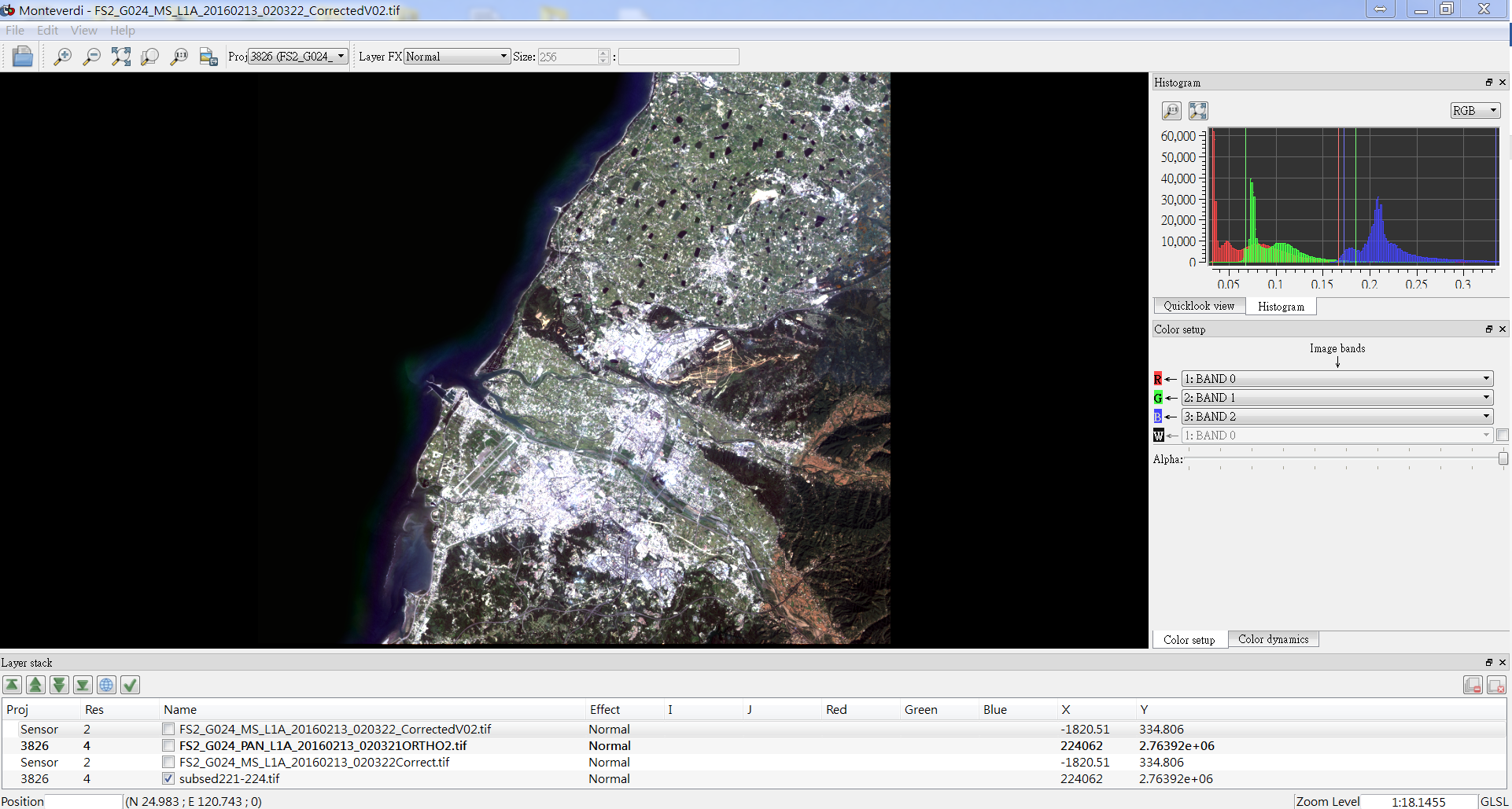 Monterverdi介面可開啟OTB成果檔(tif檔),可一次開啟多張檔案做比較,介面右方有Histogram欄位可檢視各波段之數值分佈,Color setup可調整R、G、B、W波段的對應band,另外也可以假色(False color)影像。
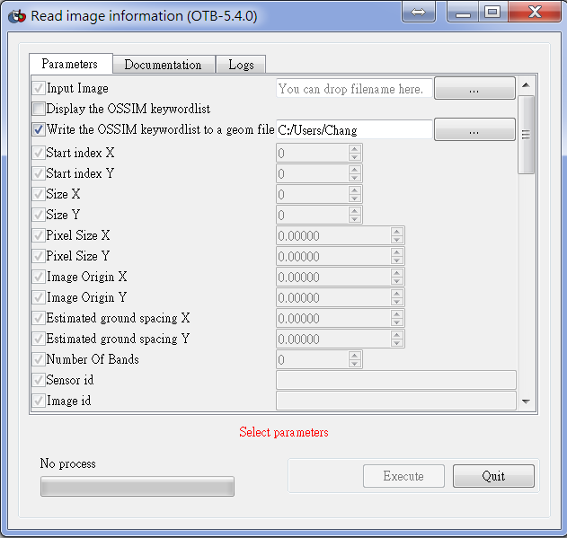
→指令gdalinfo or ReadImageInfo
ReadImageInfo input tif檔,output geom檔。
4-2. Data access: vector data access (shapefile, kml), DEM model, lidar data.
http://sandbox.idre.ucla.edu/sandbox/tutorials/installing-gdal-for-windowsGDAL
GDAL可支援raster格式(http://www.gdal.org/formats_list.html) GDAL可支援vector格式(http://www.gdal.org/ogr_formats.html)
→ vector data access 可讀/寫Shapefile及KLM,例如:Segmentation (Write), OGRLayerClassifier (Read) → DEM model: DEM Conversion, otbcli_DownloadSRTMTiles (https://dds.cr.usgs.gov/srtm/version2_1/SRTM3/)
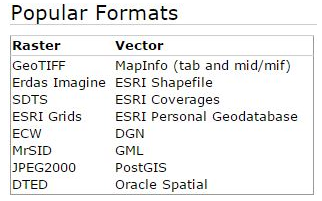 常見raster和vector格式